
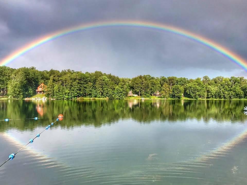
Photo Credit, Song Lake, Tarki Heath
Click HERE to Visit our Kettle Lakes Storm Reponse Website for Resources and Info Related to Storm Runoff and Flooding
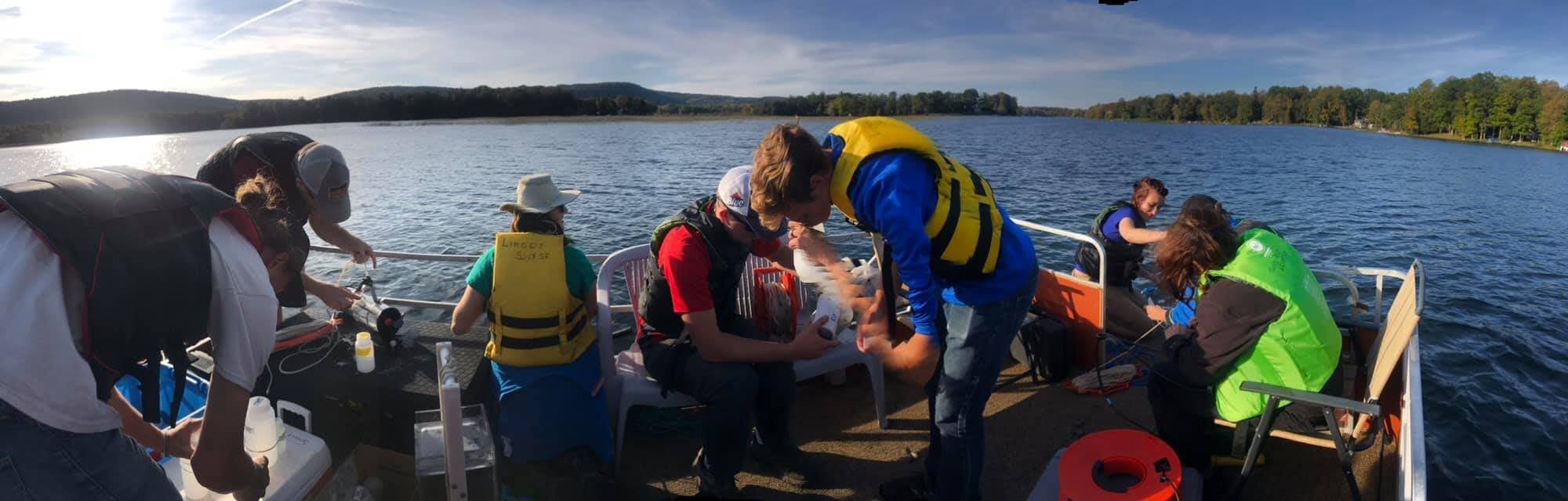
Dr. Kim Shulz’s Limnology students travelled to Tully Green Lake to do several lake water quality studies. The residents of Green Lake are new Watershed Partners, and we welcome learning more about this magnificent 35-acre kettle lake.

2024 CNY Regional NYSFOLA Lake Conference
SAVE THE DATE
Little York Pavillion, September 13th, 9:30-4:30
NYSFOLA is hosting their 41st anniversary statewide conference at the Fort William Henry Hotel and Conference Center in Lake George on May 3-4, 2024.
This year’s conference is focused on collaborative efforts to protect water quality through watershed-wide collaborative efforts. We hope that our members can obtain a better understanding of the many resources available to them.
Follow this link to register: Conference Registration
Conference Agenda Now Available
2024 Angler’s Garage Sale, Saturday June 8th, Tully United Community Church on Meetinghouse Road
Save the Date and save your donations to bring the evening before. 2023 was even better than previous years!

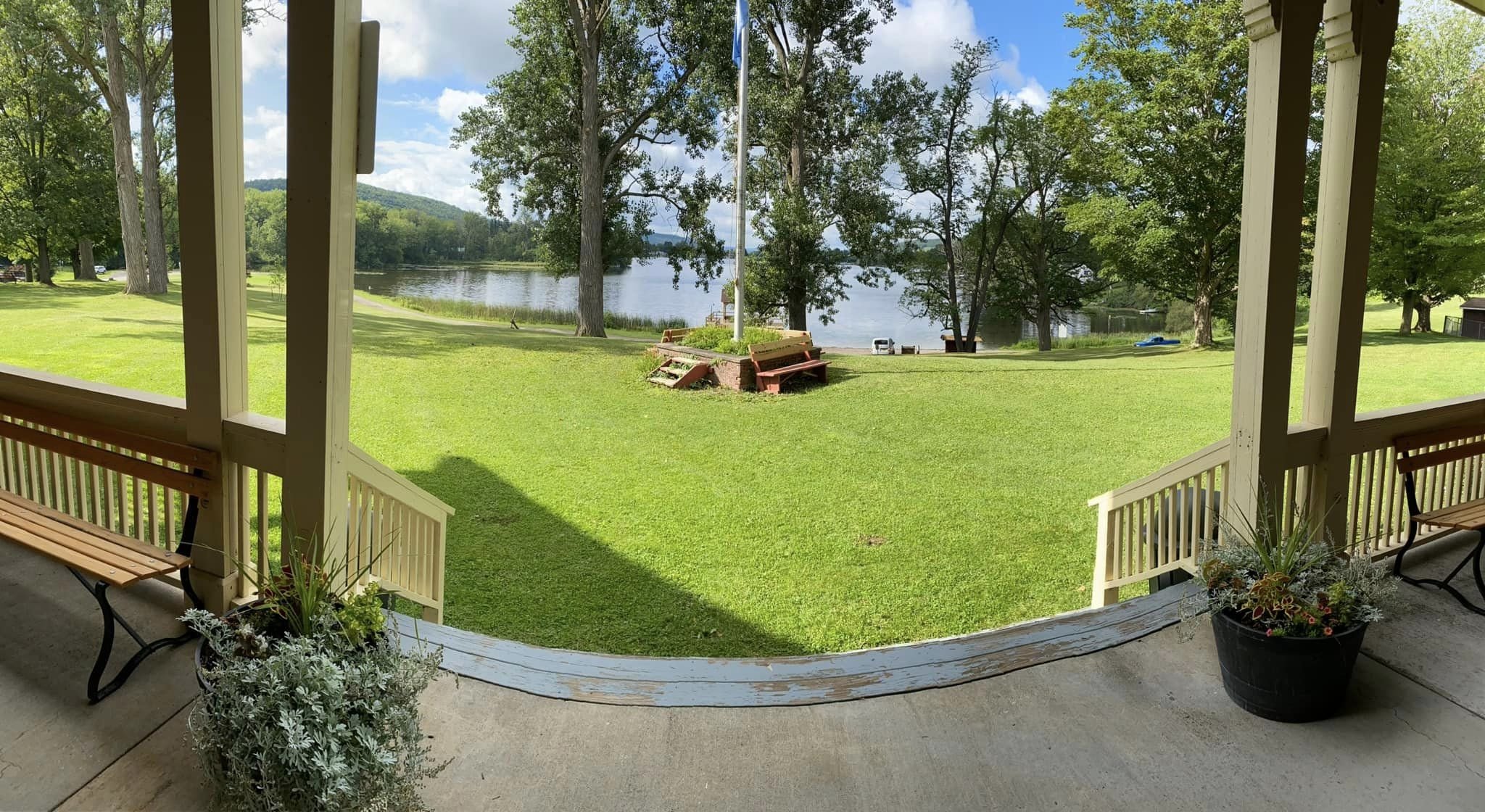
The beauty of Little York Lake’s Pavilion at Dwyer Memorial Park is the ideal location for networking and sharing strategies in practice. Explore the presentations from our 2023 CNY Annual Lake Conference below
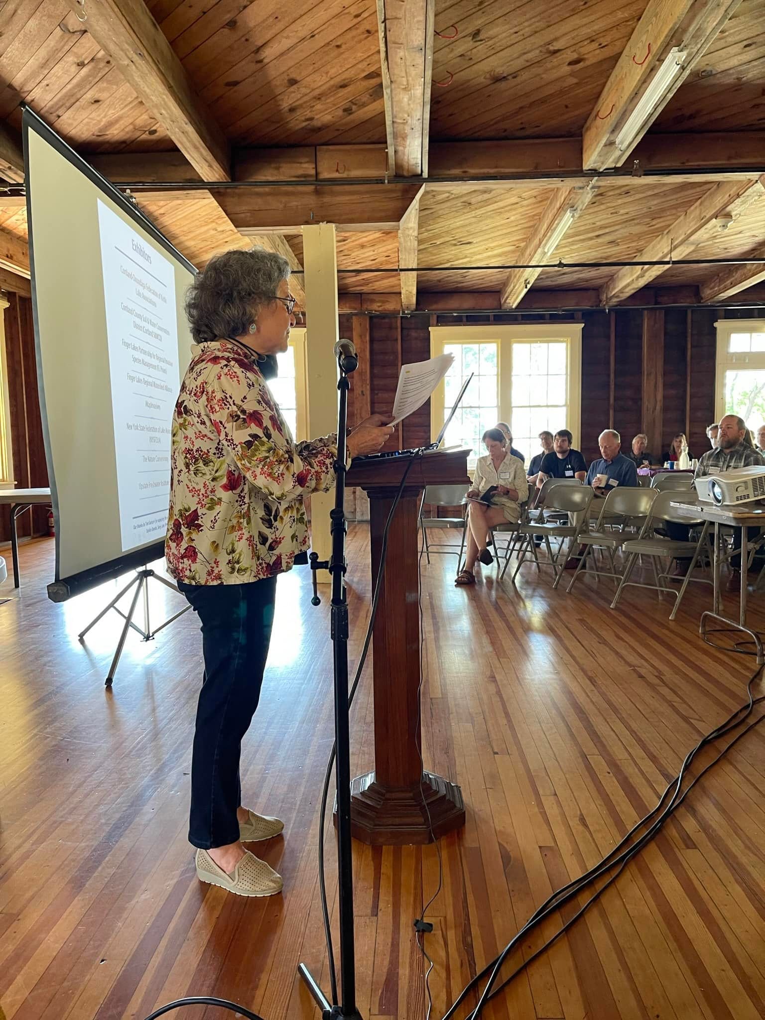
2023 Annual NYSFOLA Regional Lake Conference Presentations
-
Amanda Barber, Prepared for NYSFOLA Regional Conference www.cortlandswcd.org
The County Natural Resource Protection Agency and Much More! CLICK HERE FOR THE PRESENTATION
-
Kevin Stack, Northeast Green Building LLC and USGBC Faculty
-
Stephen J. Souza, Ph.D
-
Douglas Merrill, Board Member: Canandaigua Lake Watershed Association
Political Education CommitteE: Finger Lakes Regional Watershed Alliance
-
Brian O’Connor & Timothy Connor CLICK HERE FOR PRESENTATION
-
• Intended as a guide ONLY.
• This is NOT a comprehensive list.
• Individual Lakes must choose based on their needs and resources.
• Products are not endorsed by NYSFOLA.
-
Our Lakes, Our Projects- The Benefits of our Mutual Collaboration
Tarki Heath, Marie Ferro & Colleen Zawadzki CLICK HERE FOR THE PRESENTATION
-
Description text goes here

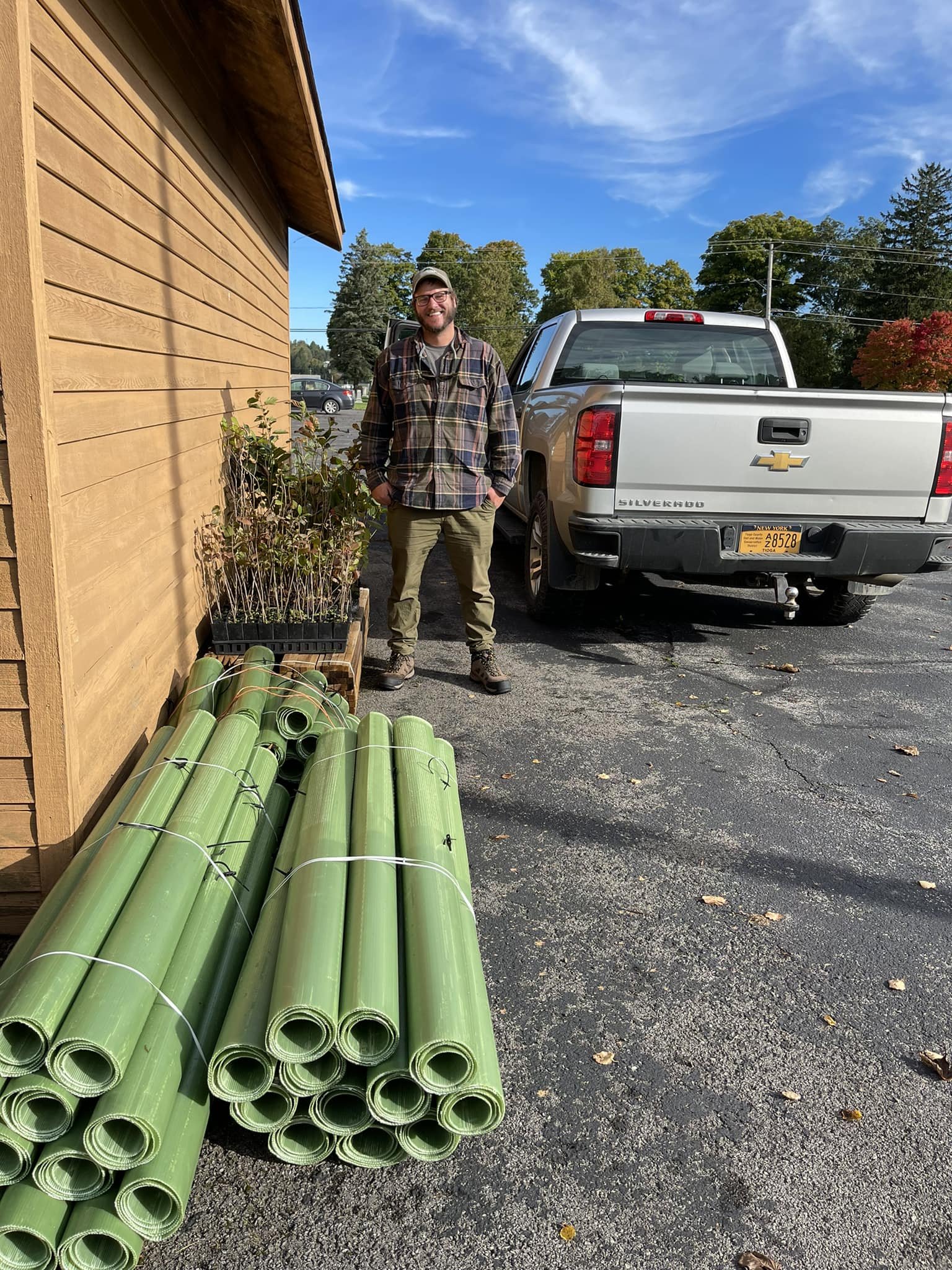
Tully Community Tree Planting Created a Storm Run-Off Buffer for the Tully Waste Treatment Plant
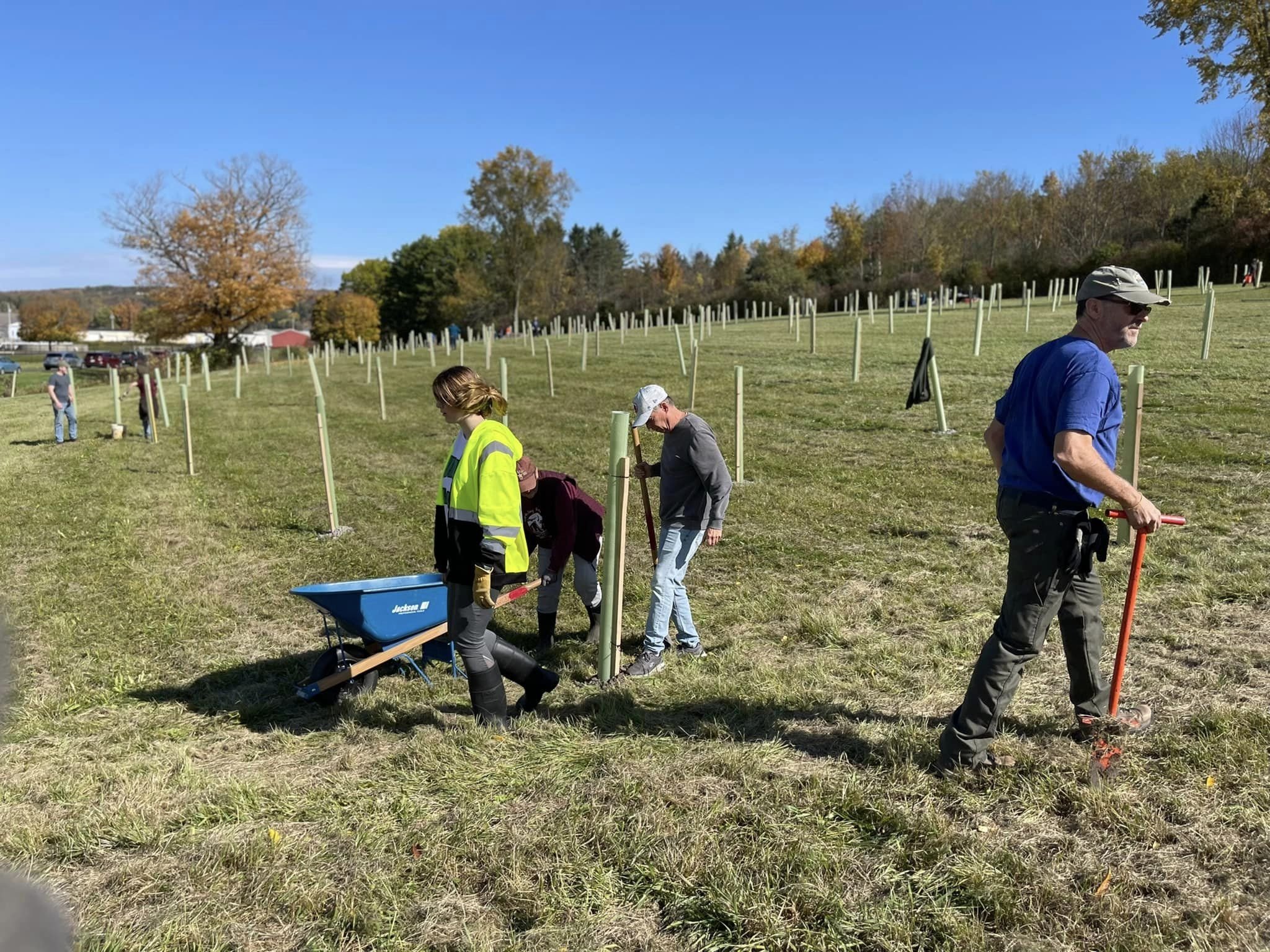
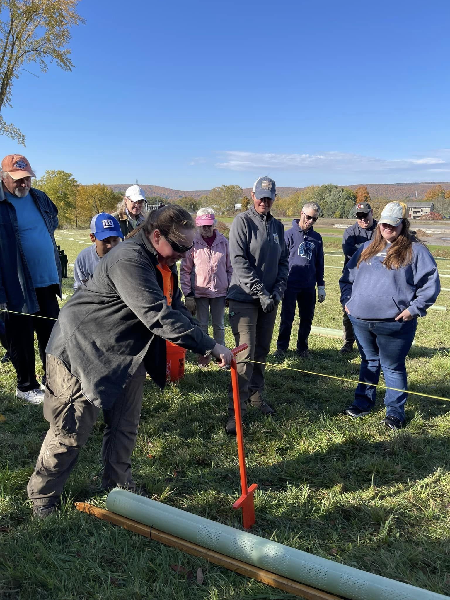
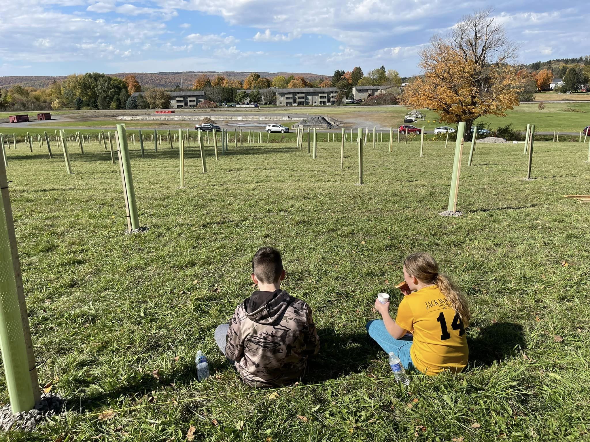
On October 15, 2022, more than 60 members of the community, young, old(er) and in-between gathered with Onondaga Soil and Water Conservation District and the Tully Kettle Lakes folks to plant 600 saplings on the hill that adjoins the tributary that empties into the south end of Tully Lake. In August of 2021 more than 8” of storm rains flooded the area nearly breaching the facility and placing Tully into a state of emergency. It is our hope that precipitation interception by mature trees will help diminish storm water runoff in the future.
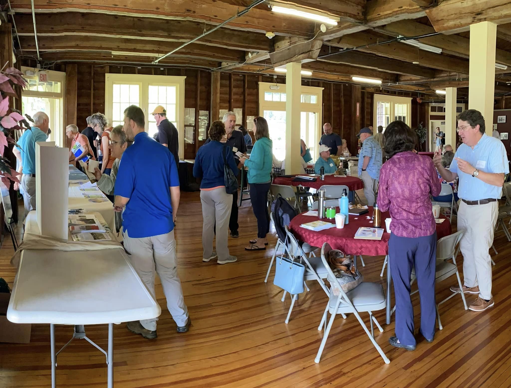
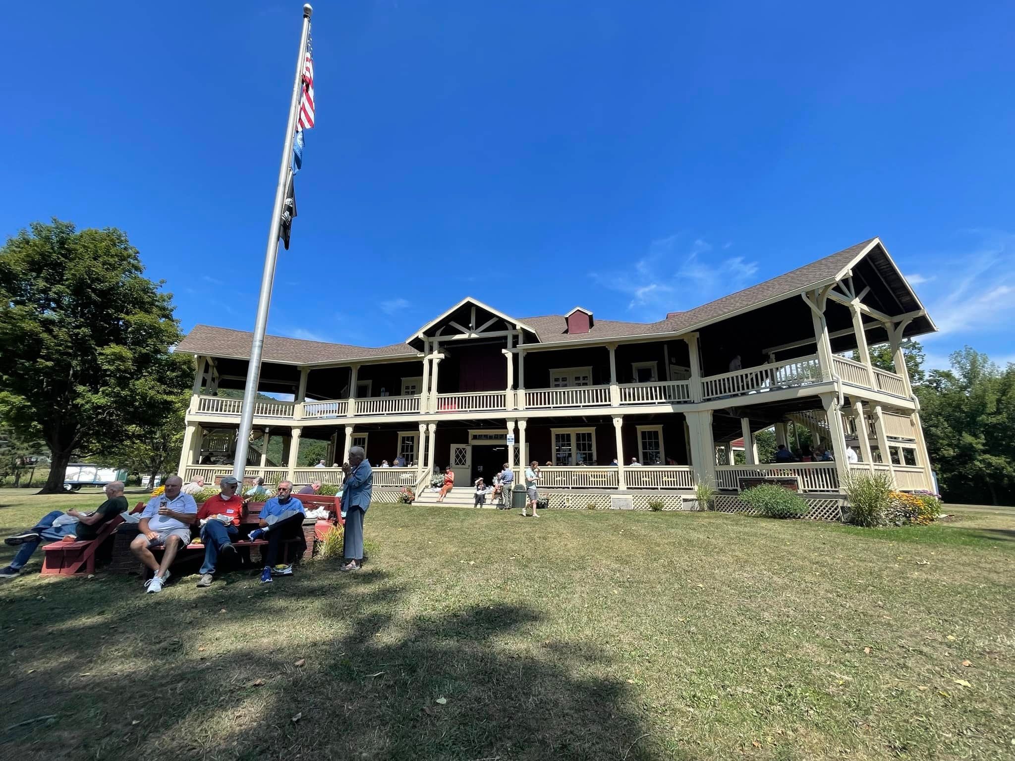
Our ANNUAL CNY NYSFOLA Conference at Little York Pavilion (8/19/2022) was a wonderful success
Thank you, presenters, tablers, organizers, and the 80 attendees who spent a lovely day sharing strategies and networking, as we explored the collaborations that protect our watershed and water quality. Here you can view the presentations from the conference. Hope to see you next year.
Information Tablers
#cortlandsoilandwaterconservationdistrict
Our Lakes Depend on Us. Together, we find a way, Olivia Green, Finger Lakes Water Quality Specialist, The Nature Conservancy
iMapInvasives-A tool for Lake Associations, Mitchell O’Neill Invasive Species Database Team, New York Natural Heritage Program
Leveraging Lake Friendly Living as A Region Wide Effort, Lake Friendly Coalition of the Finger Lakes, Frank Moses Executive Director, Skaneateles Lake Association
Off the Lake Shore, Lydia Brinkley, Upper Susquehanna Coalition
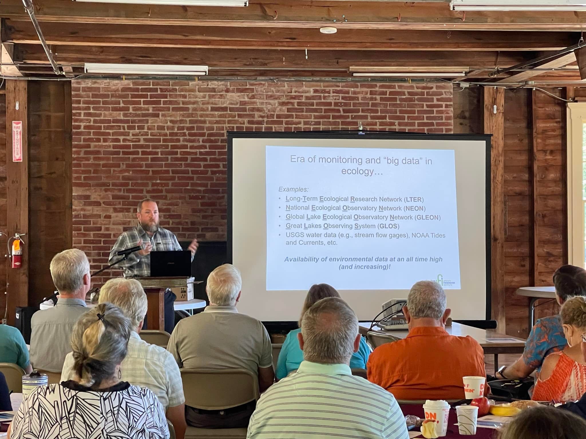
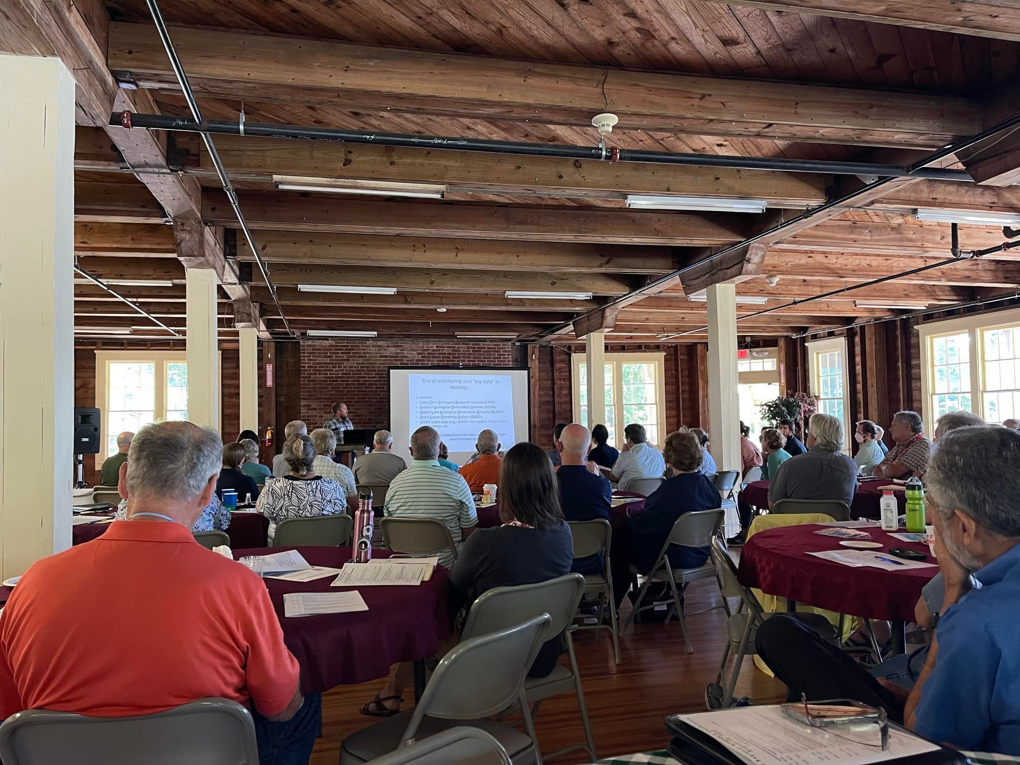
Looking at Long-Term Trends in Your Lake, Andrew Brainard, PhD, Upstate Freshwater Institute
Land Trusts Working for Water Quality-The Central New York Land Trust and Our Role in Protecting Skaneateles Lake Watershed, *NOTE-Click here to view Video Selection, CNY Land Trust & Water Quality, Richard “Rick” Smardon, PhD, Past Board Chair & Paul Porter, Director of Stewardship Central New York Land Trust
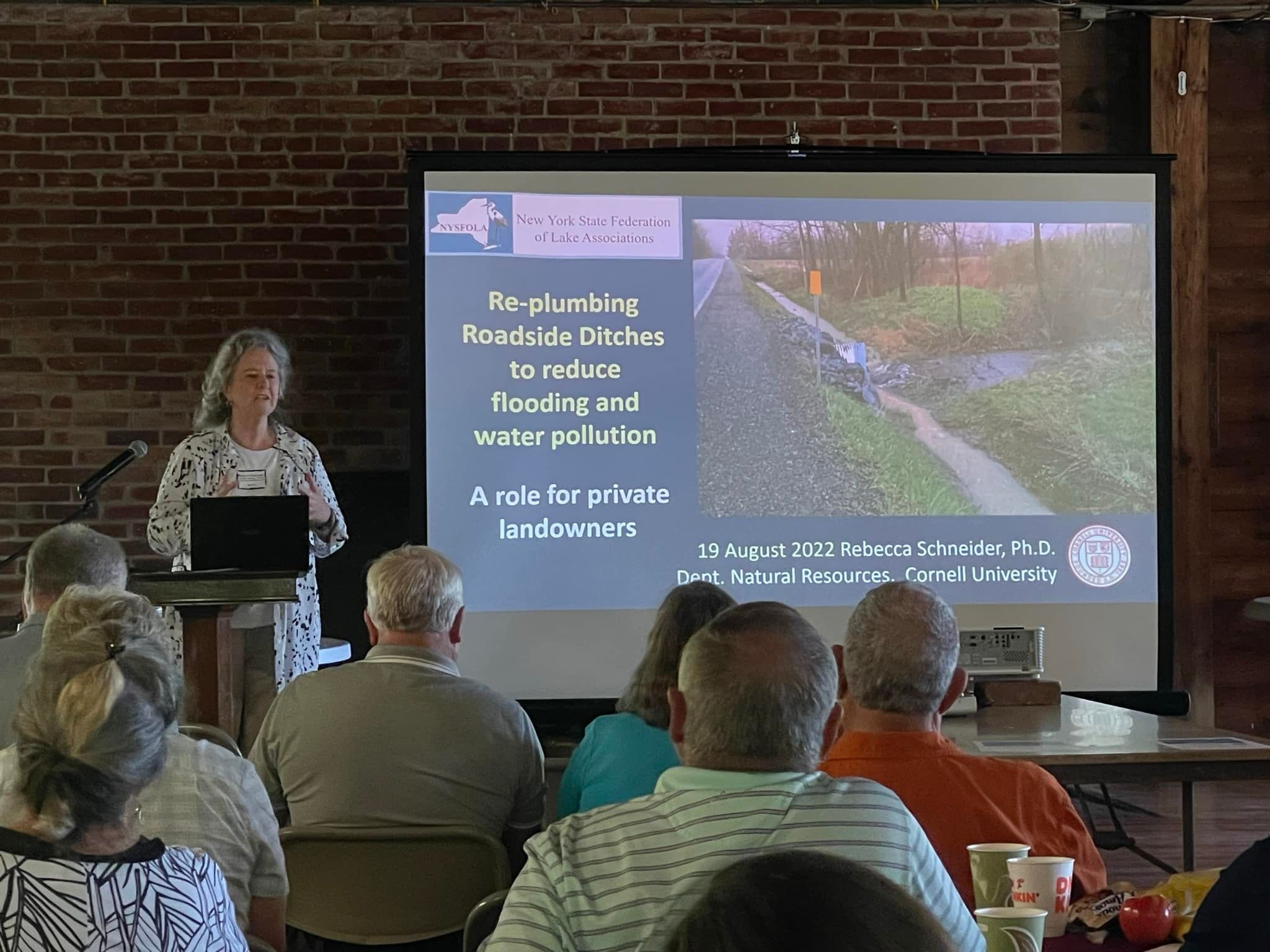
Re-plumbing Roadside Ditches to reduce flooding and water pollution-A role for private landowners, 2022 Rebecca Schneider, Ph.D. Dept. Natural Resources, Cornell University
Finger Lakes Land Trust “To conserve forever the lands and waters of the Finger Lakes region, ensuring scenic vistas, clean water, local foods, and wild places for everyone.” Kate Riley, Land Conservation Specialist


Click on the FLYER to View Program
Trees and Shrubs diminish storm run-off and contribute to healthy watersheds. 25 local friends got three FREE shrub and tree saplings to plant on their property to meet this goal! Additional saplings were used to replenish shorescaping initiatives. Thank you, UPPER SUSQUEHANNA COALITION, for supporting our Kettle Lakes.
Tree and Shrub Festival took place on October 1st, 2022, at
Tully United Community Church

Reaching out to our community…
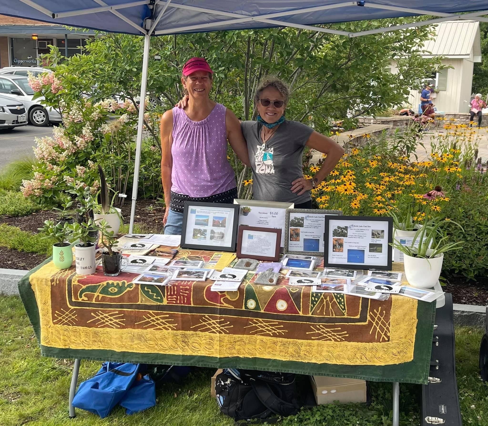
Kettle Lakes Association was represented at King’s Corner Farmers Market, August 9th 4:00 7:00 at Tully town center. Folks got to learn about our amazing lakes and watershed. We had Kettle Lakes all occasion cards for sale so much more!
The 2022 Annual NYSFOLA Conference, “Maximizing Your Lake Data,” was a huge success!
Thank you to all presenters, exhibitors, organizers and award winners. Congratulations go out to Tarki Heath and Colleen Zawadzki for their ongoing work as kettle lake stewards.
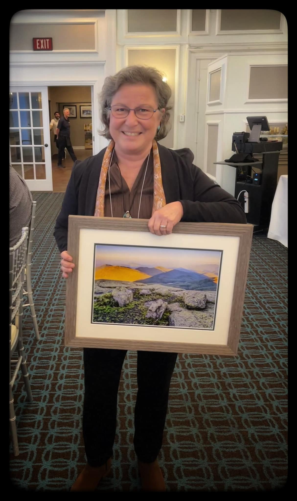
Congratulations to our own Tarki Heath for being awarded the Lake Tear of the Clouds in the Adirondack Mountains Award, at the 2022 NYSFOLA Annual Conference, “Maximizing Your Lake Data,” in Lake George. Photo courtesy of Carl Heilman II. The Lake Tear of the Clouds Award is NYSFOLA’s highest honor. This award, named for the “highest” lake in the state, is awarded when appropriate (and often without prior notification) to a person who has shown the highest dedication to lakes and watersheds, assisted NYSFOLA in its mission and produced exceptional performance in his or her field of endeavor. Our Kettle Lake Partners thank you for your selfless ongoing dedication.
Climate change and storm run-off
Dear Lake Residents,
In an effort to address the serious consequences of flooding, we are asking for a few minutes of your time to respond to this confidential survey.
In 2021, two rainstorms caused severe flooding in the Kettle Lakes community. The storms brought a record level rainfall causing damage to property, road washouts, impaired lake water quality and other serious water contamination issues, including drinking water wells. Some residents are still dealing with very high water levels.
Our weather patterns are changing and we must be prepared for intense storms, such as these, in the future.
Please take a few minutes to complete this confidential survey so that our Kettle Lake Associations can be informed about the true extent of the impact of these severe rain storm events.
This information will only be used to inform our lake communities so that we can assist one another. The Kettle Lake Storm Response Team formed this winter with the goal of providing needed information so that each of us can prepare and respond appropriately and in a timely manner to future storms.
Some issues will need funding, and as we gather collective data, we may also use this for possible grant opportunities. The data will always be collective, no personal data will be used, in fact, no personal data will be known without permission.
We appreciate your immediate response so that we can share this data at future lake association meetings.

Hoffman Road, on Tully Lake was submerged for nearly a week. Photo Credit, Colleen Zawadzki

Planning for future storms…
A sub-committee of members from three of the four kettle lakes met on 2/22/22 to discuss the need to create solutions that address mitigation and prevention as well as developing a real-time response team. The video of our meeting is here. Contact us for more information. (October 28th storm run off at the south end of Tully Lake near Cummings Point. Photo credit, Colleen Zawadzki)

Aquatic Invasive Species are Overwhelming the Ecosystem
A group of concerned Kettle Lakes residents from the four lakes joined together to share what each lake is doing to address this ongoing concern and what might be strategies for consideration in the future. The video of that meeting is below. In this photo, invasive Eurasian watermilfoil and chara eventually fill Turtle Pond (Upper Tully Lake) at the north end of Tully Lake each summer. Photo credit, Colleen Zawadzki
Our partners collaborate in meaningful ways to monitor and improve our watershed.
Dr. Kim Schultz’s Limnology students (SUNY ESF) conduct ongoing research on our Kettle Lakes each autumn which often result in action steps to improve and monitor our lakes.
Photo Credit, Colleen Zawadzki
The Kettle Lakes Watershed
represents a 19,000+ acre area in northern Cortland County and southern Onondaga County and is also known as the Tully Lakes area due to the nearby Town of Tully. While kettle lakes are present throughout the Upper Susquehanna River watershed, this region includes a high quantity of kettle lakes including several large lakes positioned in a compact area. The lakes are sought after for aesthetic and recreational purposes, and many have highly developed shorelines for relatively small bodies of water, resulting in elevated water quality concerns. Watershed groups for many of the larger lakes including the greater Cortland-Onondaga Federation of Kettle Lake Associations have been hard at work seeking to better understand water quality issues and their causes. These groups have partnered with organizations and agencies to educate residents and municipalities, develop lake management plans and begin implementing practices to improve water quality.

Map credit-Upper Susquehanna Coalition